If there is a downside to living in the land of chocolate and cheese – and I’m not saying there is, mind – it may be related to our waistlines. We’ve certainly been living the good life for the past few weeks, so this weekend we decided to get some exercise in as well as continue to explore the countryside. We researched hikes that could be done in our local area, looking for something relatively simple but scenic nonetheless (code for ‘we really aren’t up to climbing a mountain’.)
The hike we decided on was a section of the Pragelpass-Weg route, which spans the Schwyz and Glarus Cantons. We opted for the first leg, a 14km stretch that started at Schwyz and wound its way to a town called Muotathal. We don’t have wheels yet, but the public transport here is excellent. We were able to get the two trains we needed with about a three minute wait and very little hassle. It was also inspiring to see many other people mobilising for Sunday activities – walkers like us, but also rock climbers and cyclists (and a bunch of people wearing Swiss traditional dress and smoking cigars. I was tempted to remove my hiking shoes and join them as they seemed to be having a blast, but I needed to keep my lungs ready for fresh mountain air so no dice).
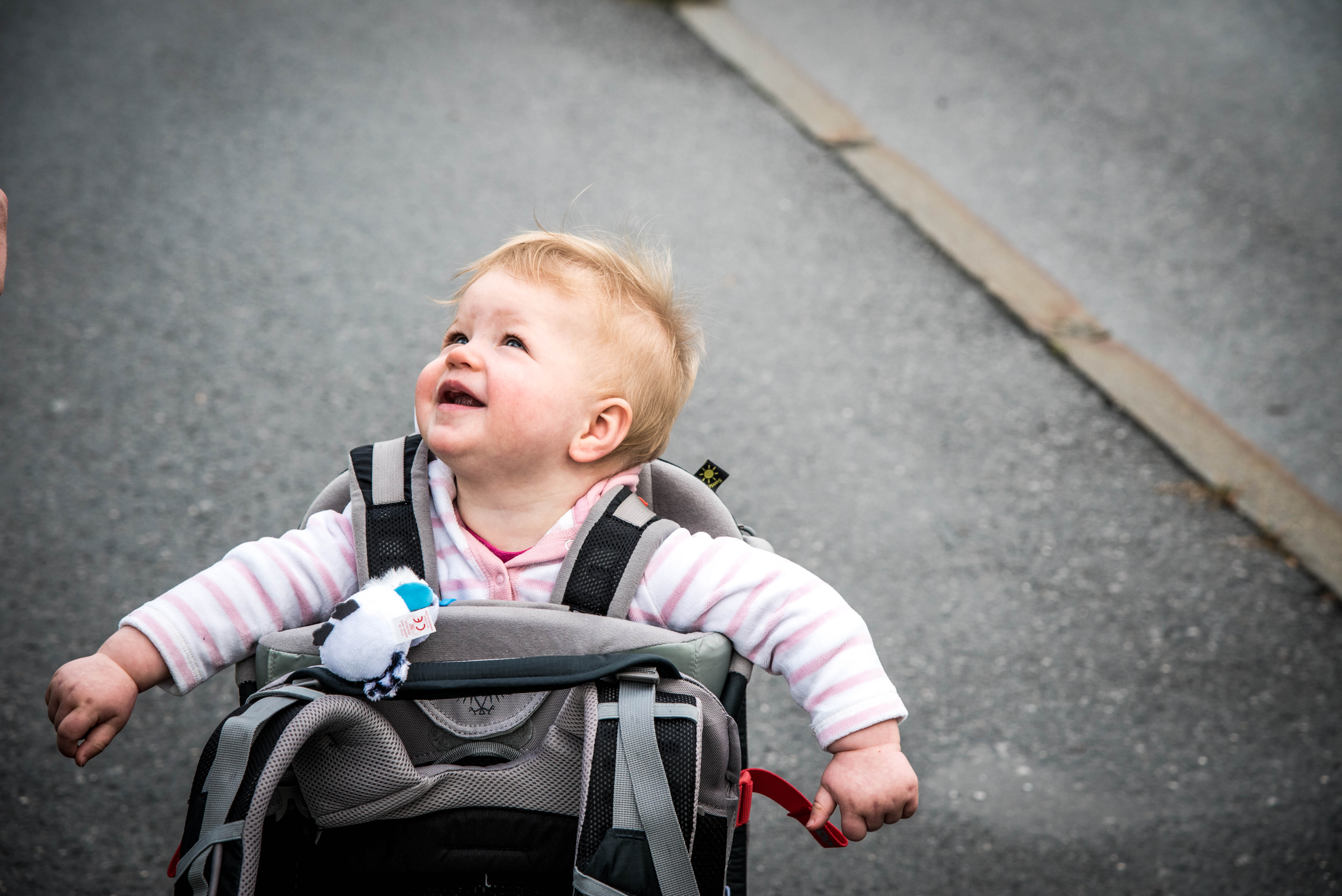
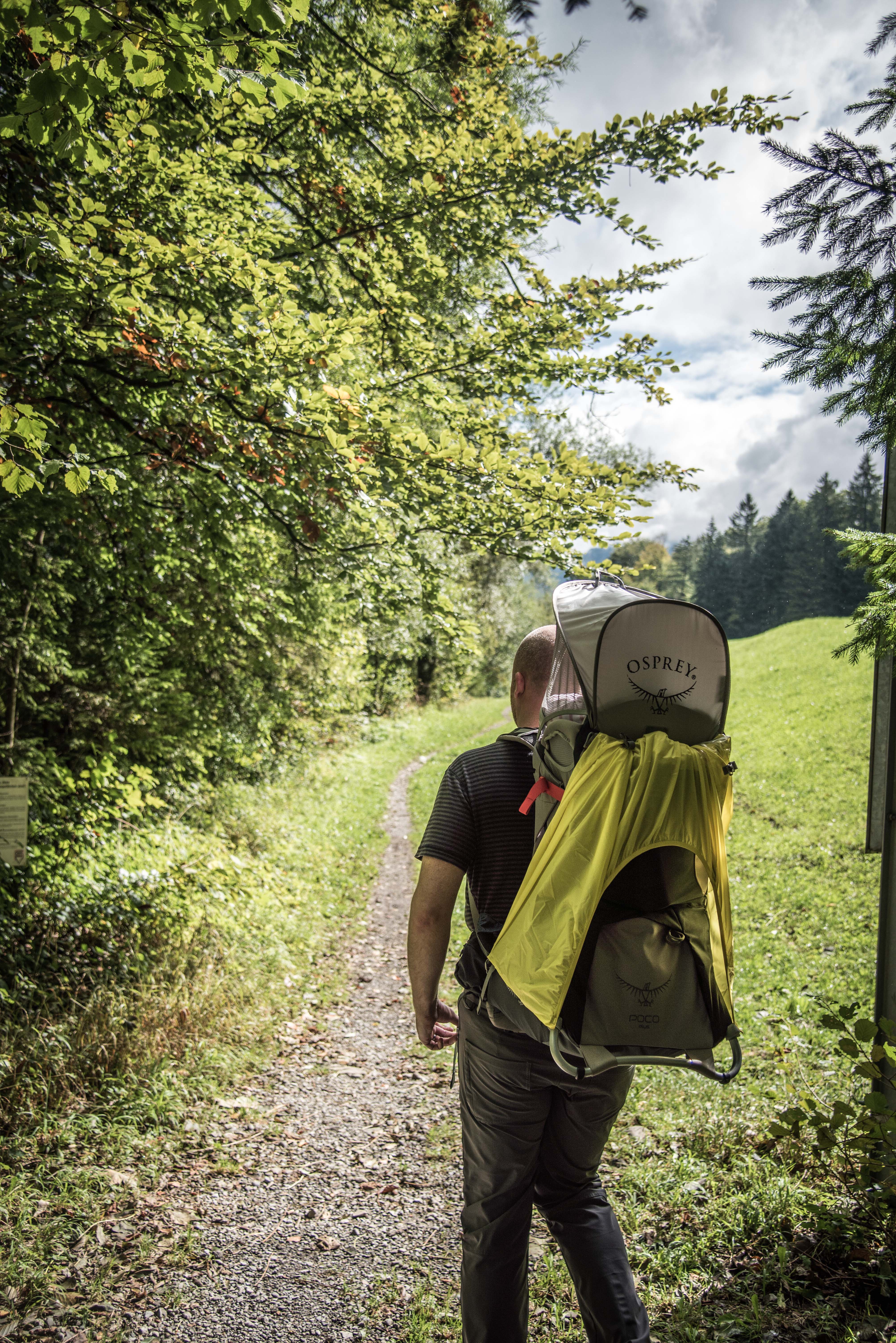
Tim and Adelaide discussed hiking strategies on the way there (no cigars).

Until she got bored and fell asleep.

We arrived at Schwyz and tried to work out where we were going. The formal hiking trails around Switzerland are signposted and numbered; we were looking for walking route 29. Our internet map advised us that this would require a 2km walk through town to locate the trail. As we got out of the station, the skies were a little grey and we anticipated rain.
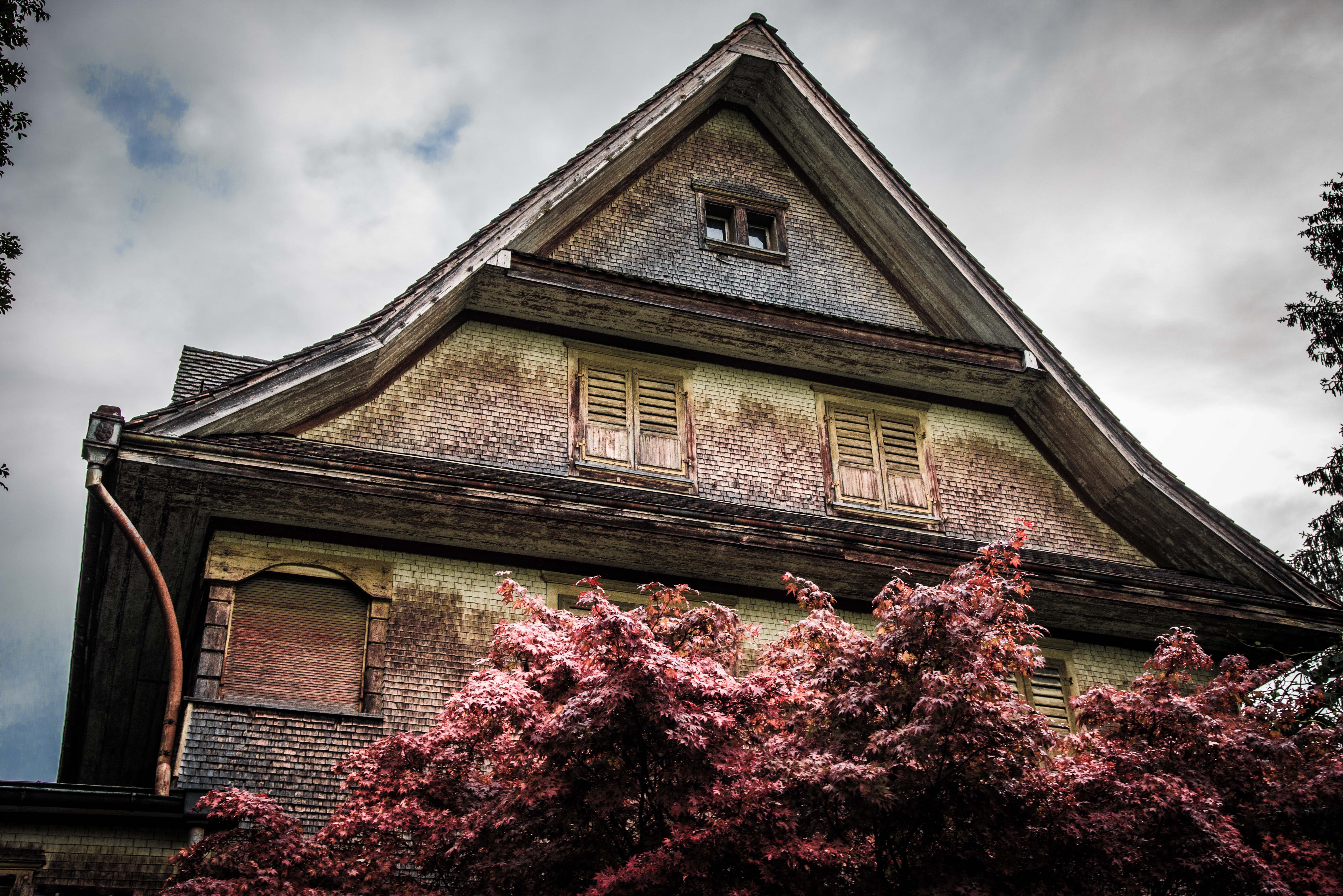
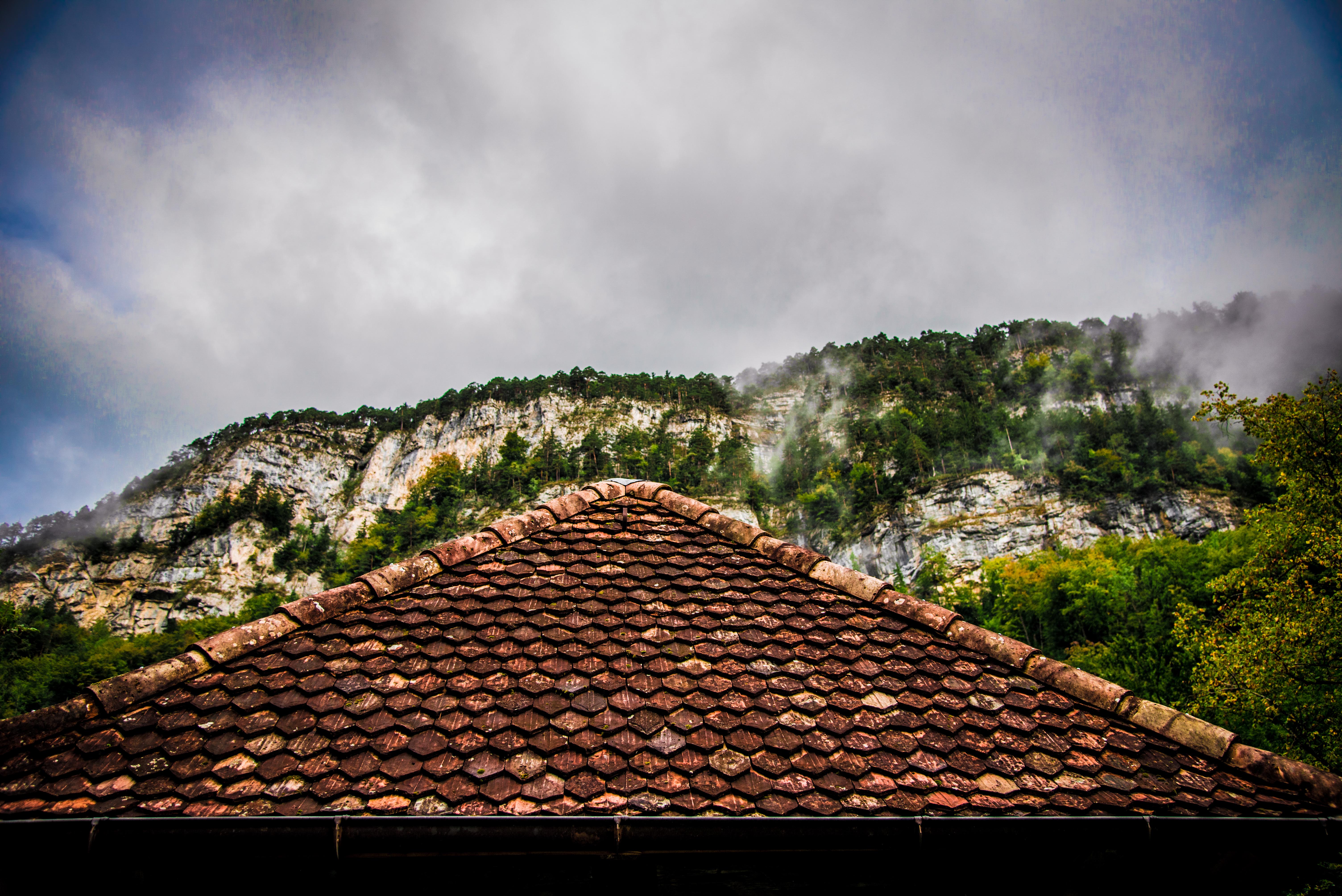
We didn’t make it into the main hub of Schwyz – we skirted around the edges to find the trail. This meant we wandered past houses, market gardens, fields of flowers and the ever-present majestic mountains.
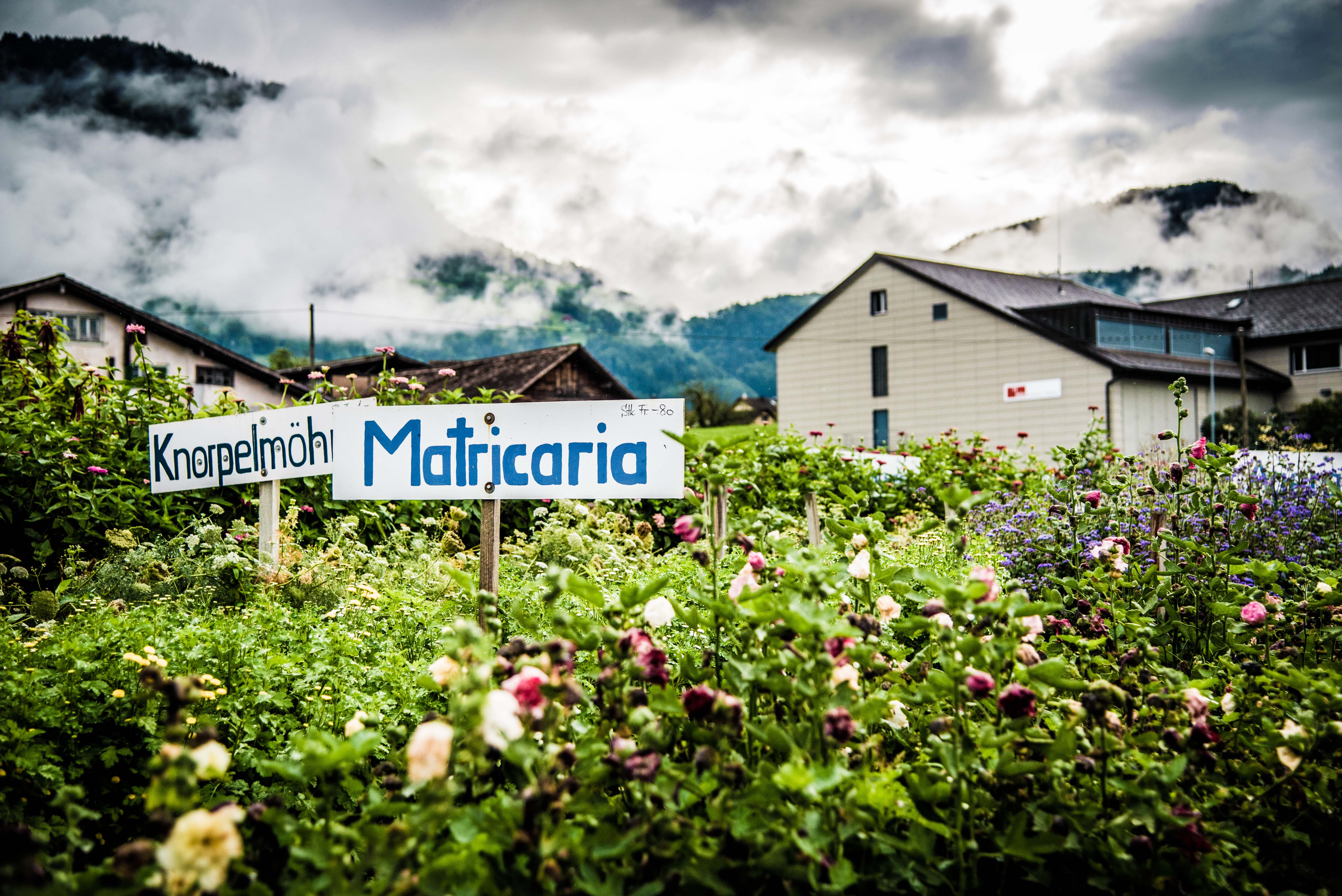
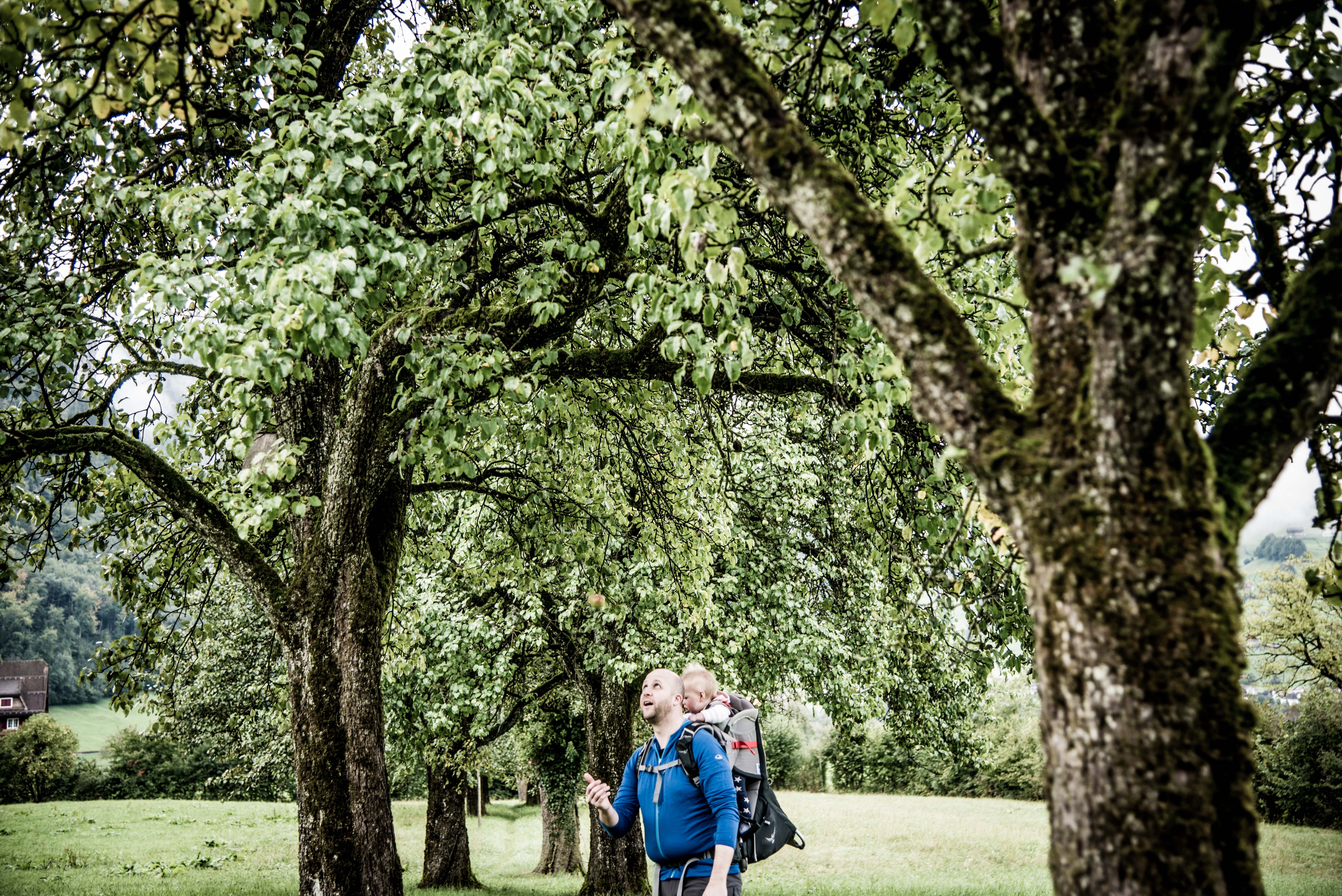
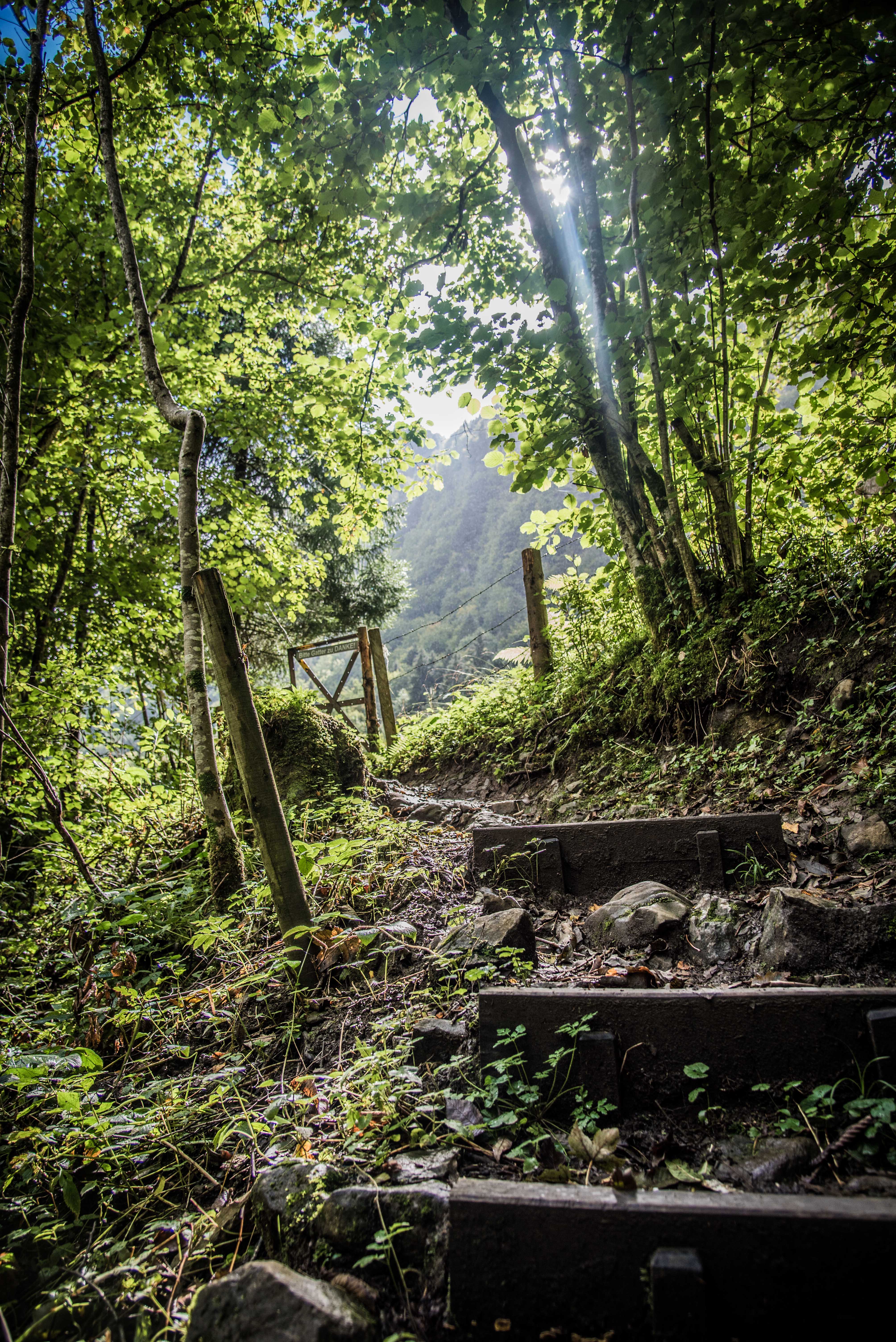
We weren’t sure what we were looking for. In Australia, a lot of the hikes we’ve done are on bush trails in national parks – completely independent and quite obviously hiking trails. Here, it wasn’t clear if we were looking for a trail, a formal path, a gravelled road or a shortcut through fields. Although we’d experience all along the way, the start turned out to be the latter, with a welcome sign showing us to trot through a fence and start the walk through a field of pear trees.

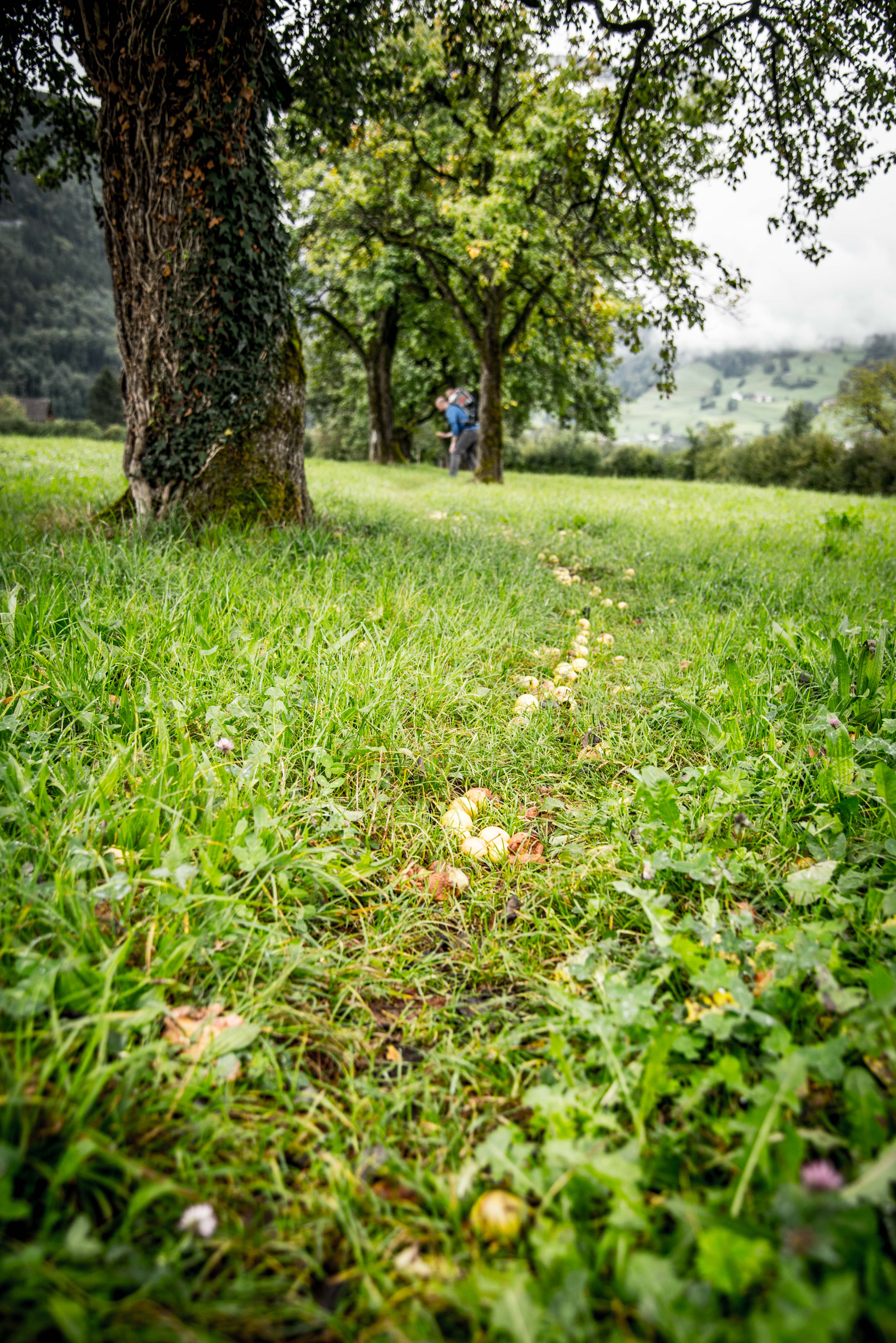
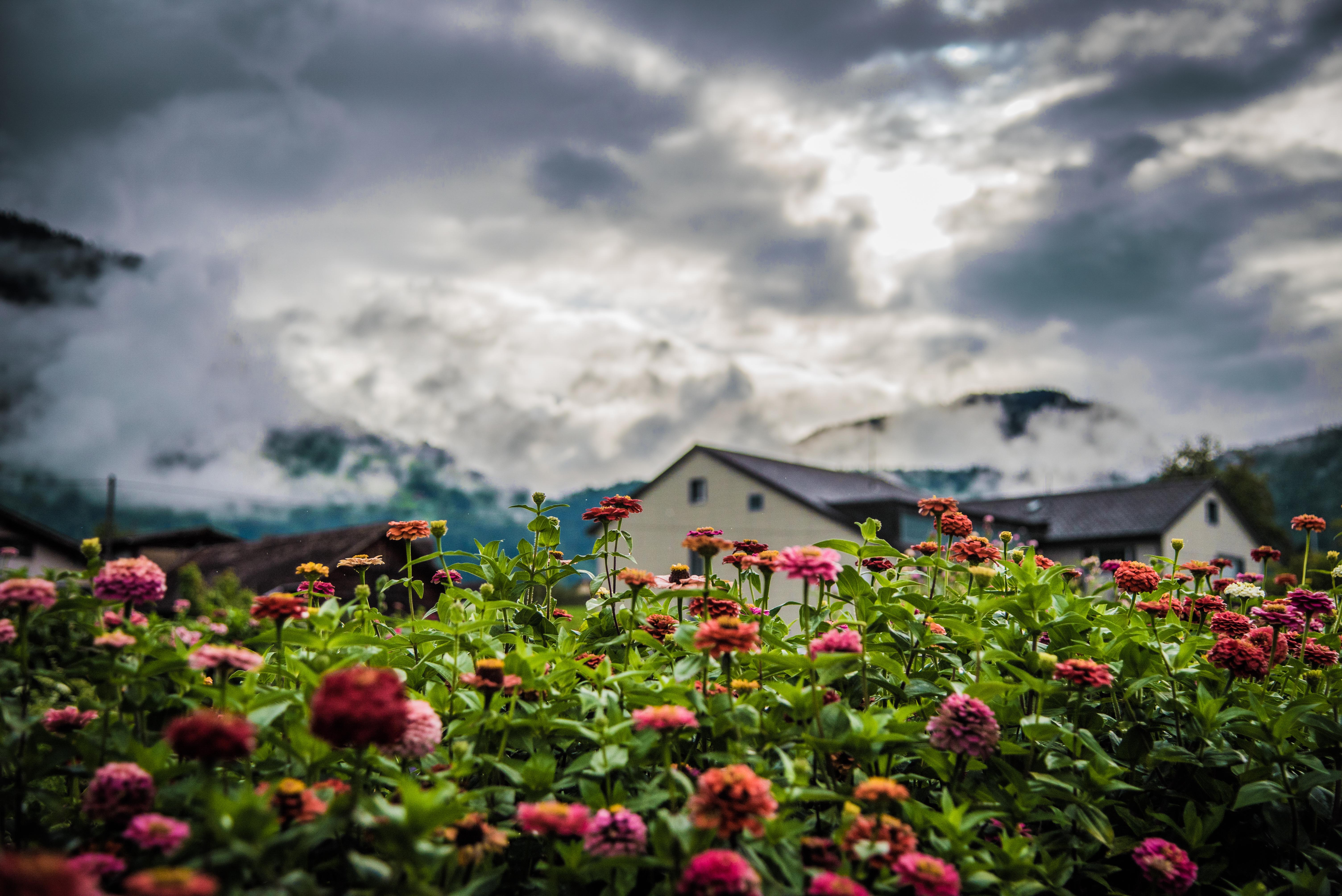
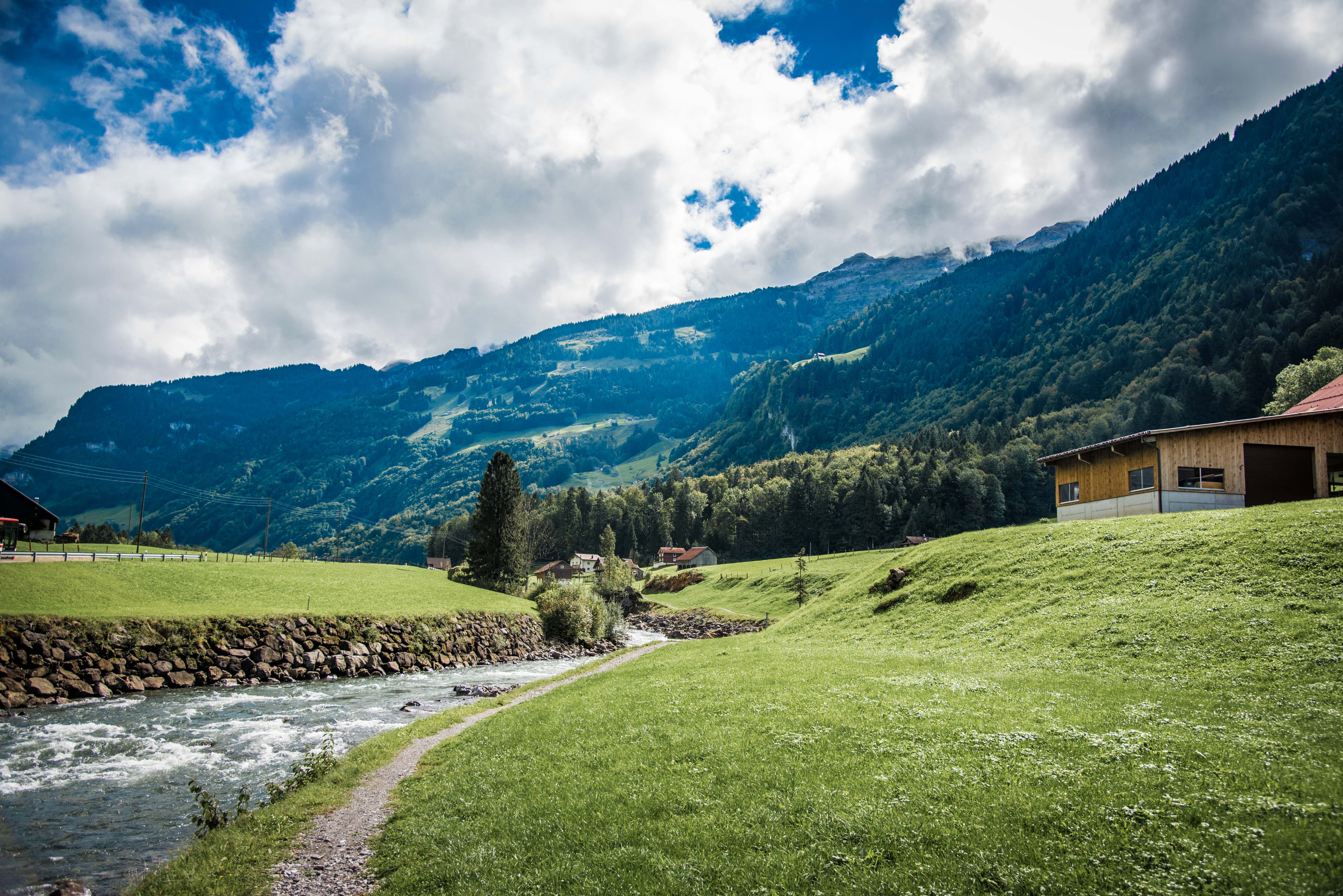
For the first few kilometres we traipsed through green meadows alongside little rivers. There were many gates and makeshift bridges to cross, and we’d frequently see farm houses, dairies (which we could smell as well as see) and small towns.

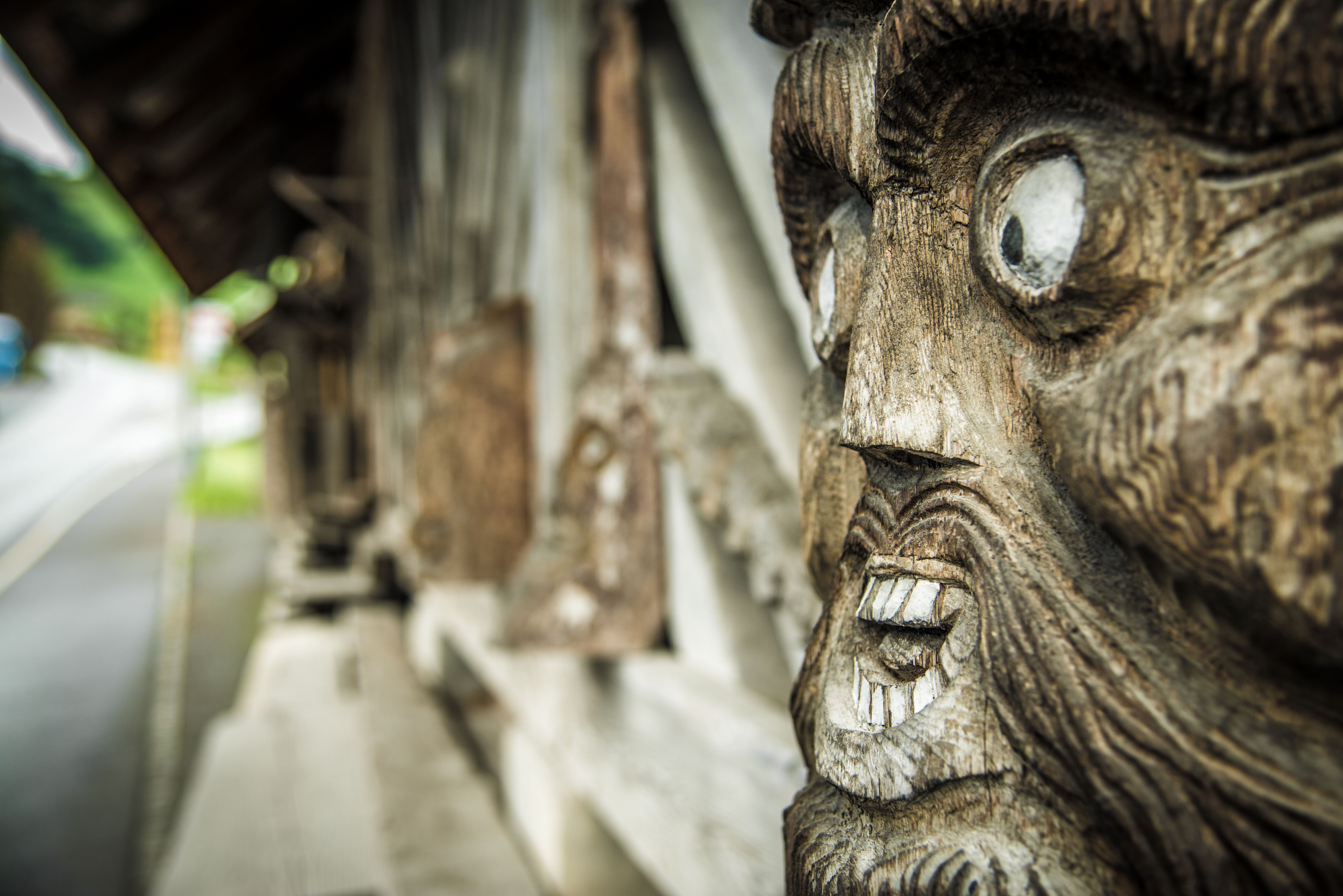
We also saw some rather creepy carvings.
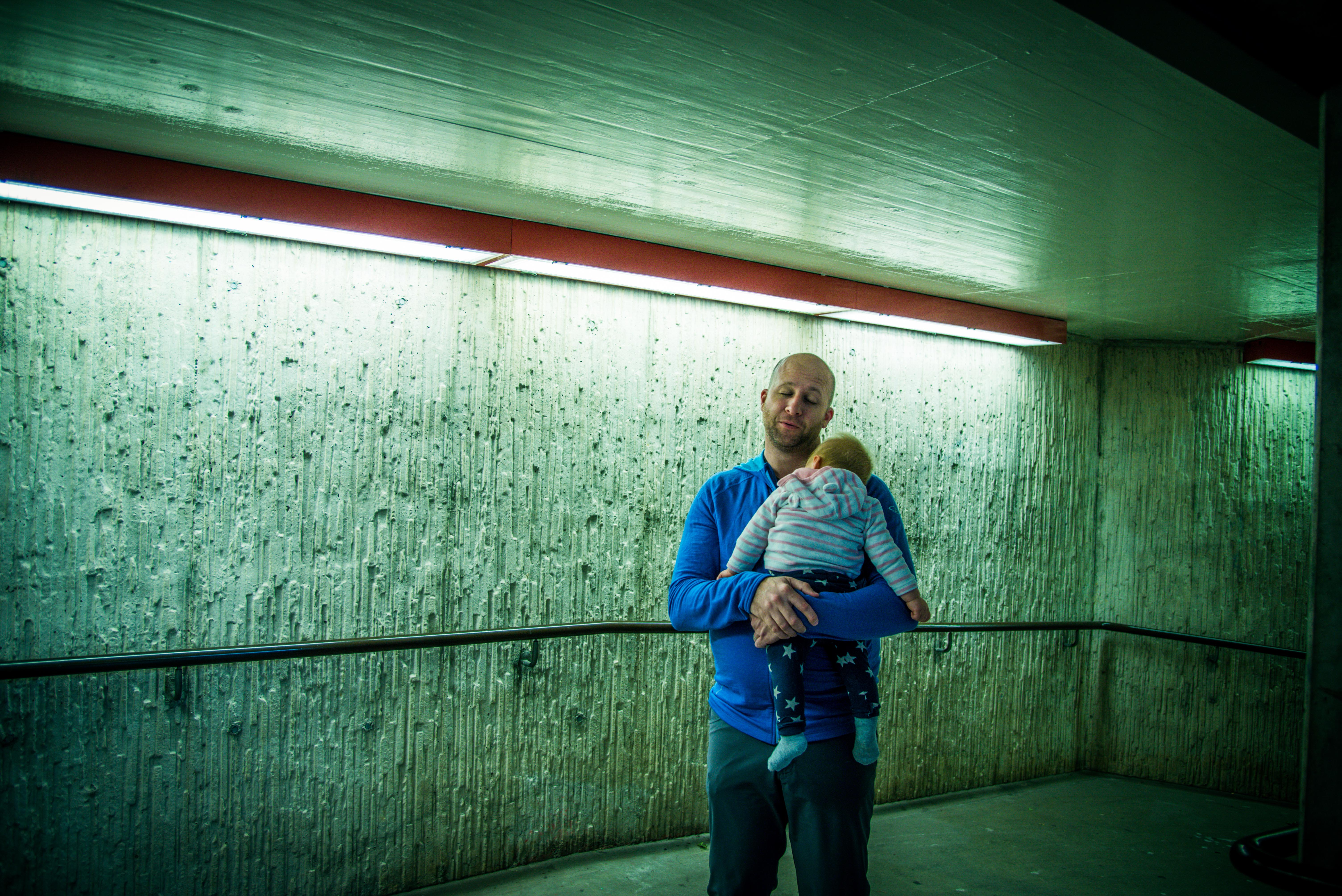
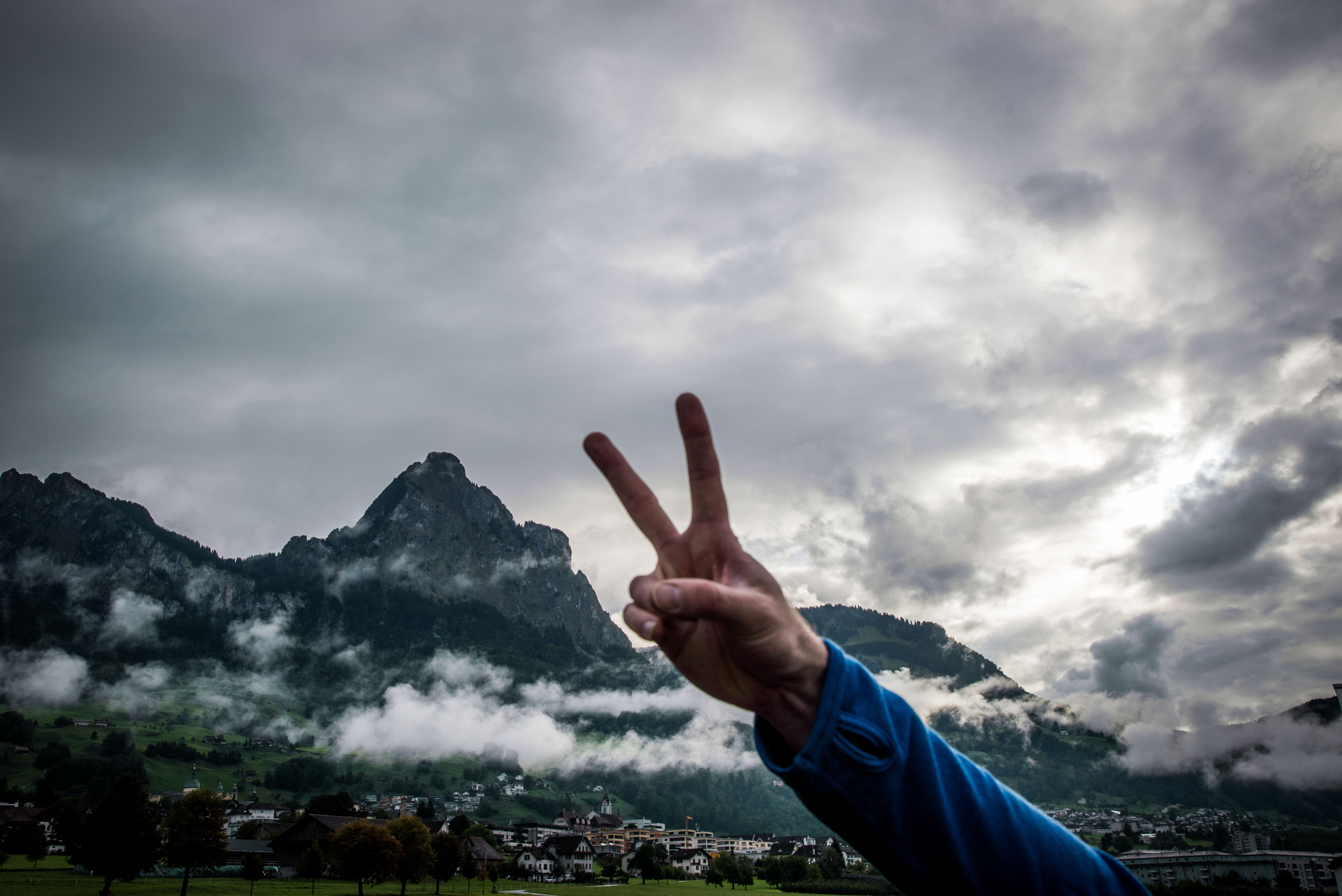
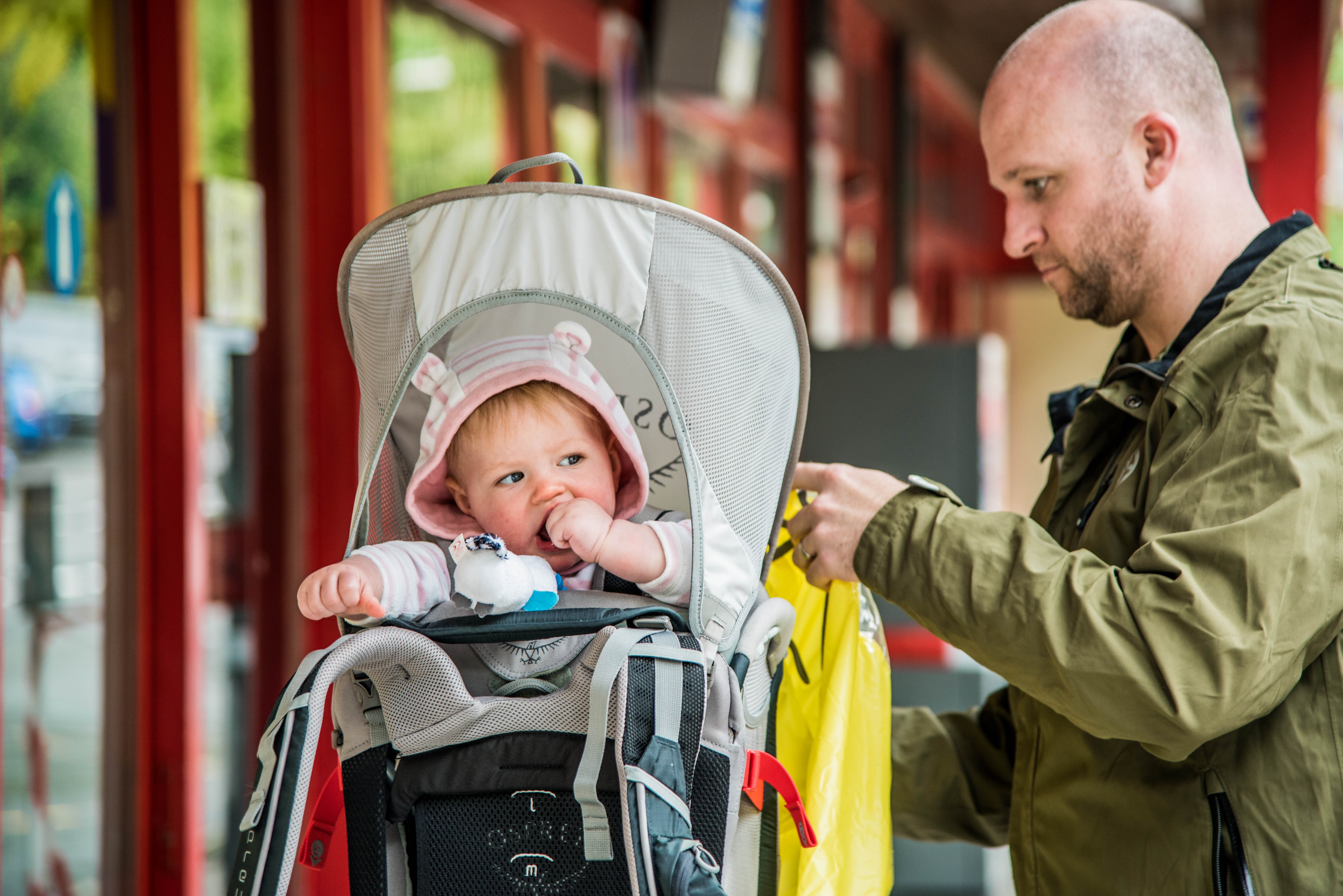
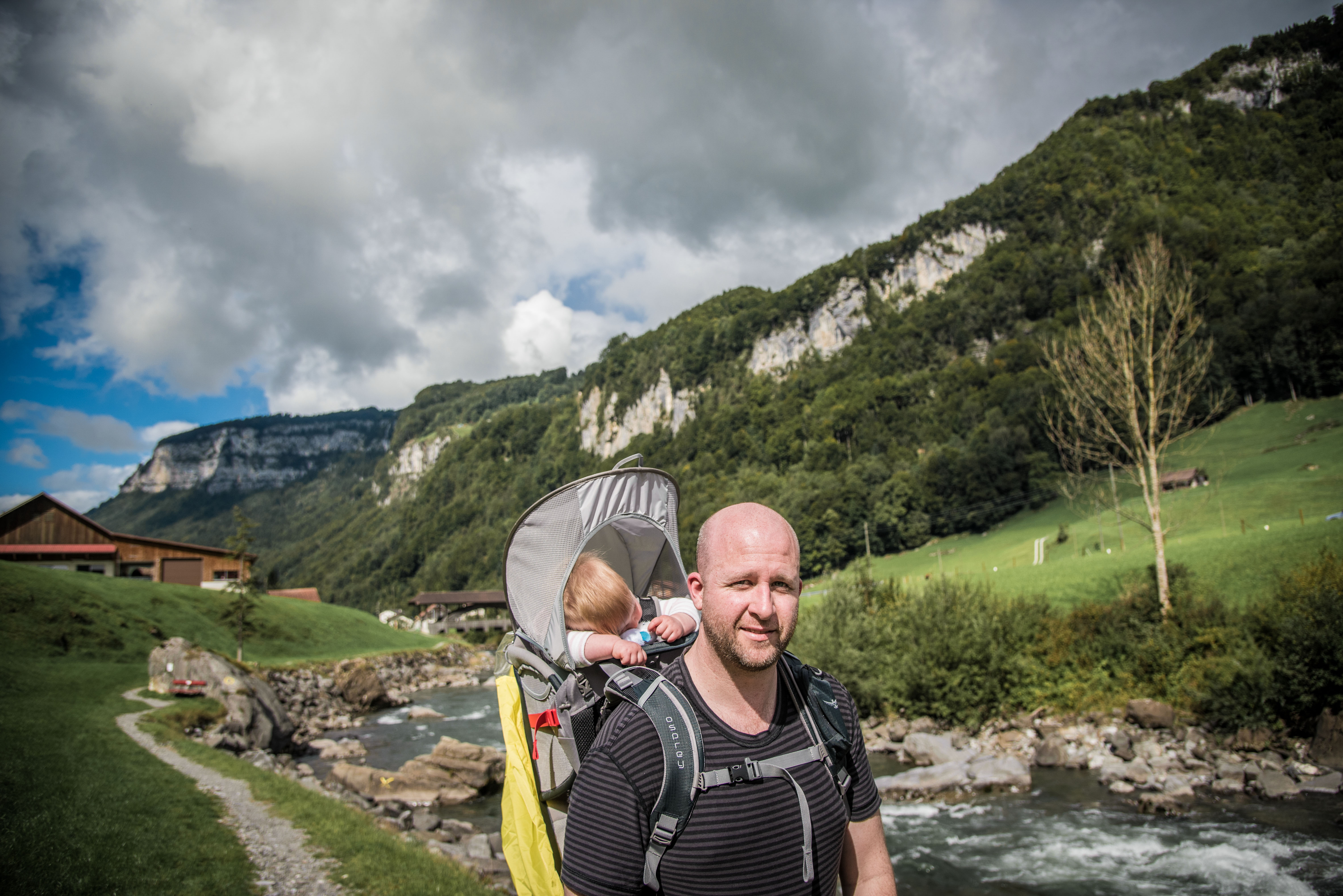
The hike was categorised as easy and while it was a reasonable length, it was primarily flat. We still got all the sights of the surrounding Alps without having to do any of the hard work. (Tim postulated that carrying the girl for 14ks was hard enough work; an argument about my nine months of carrying her ensued.)

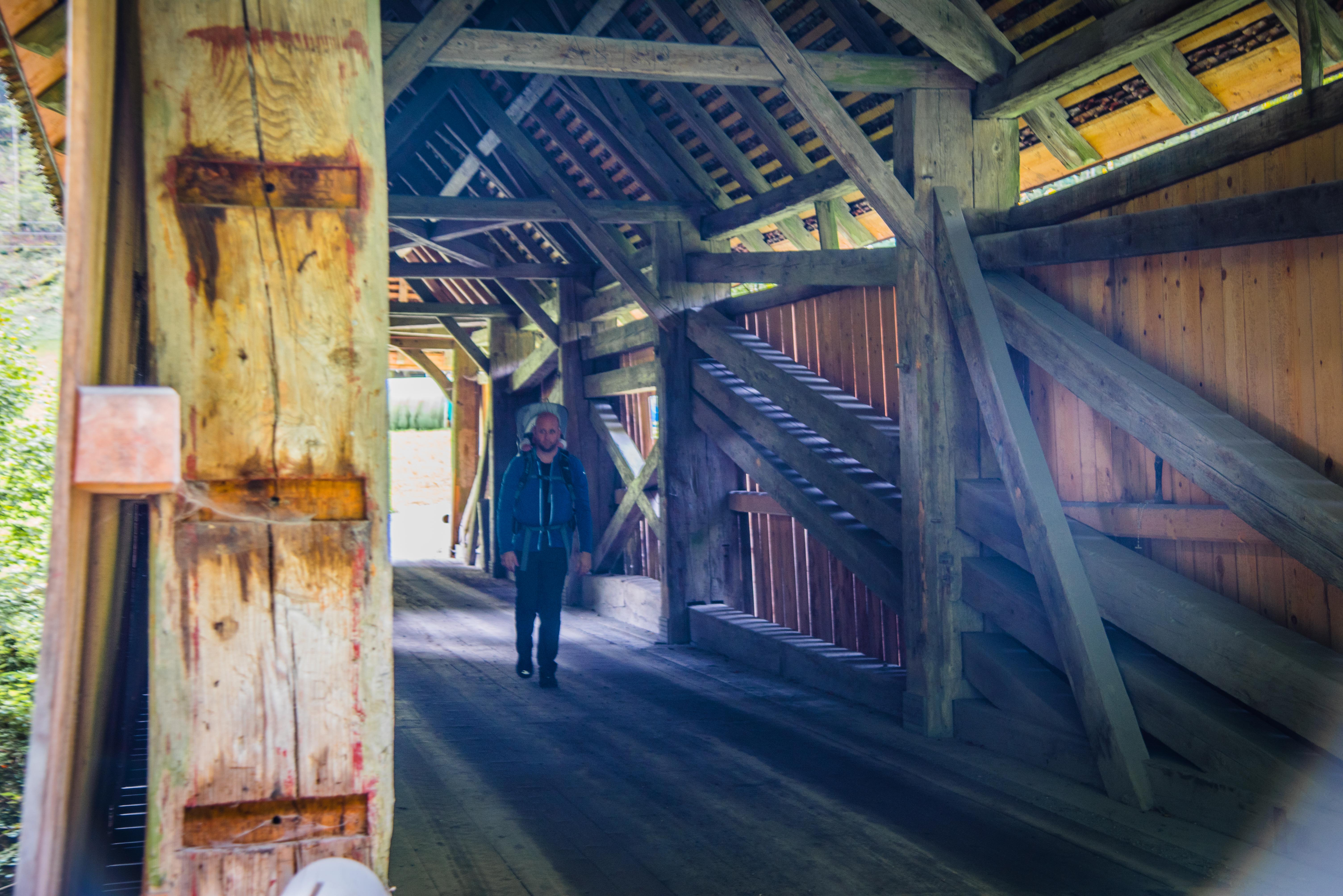
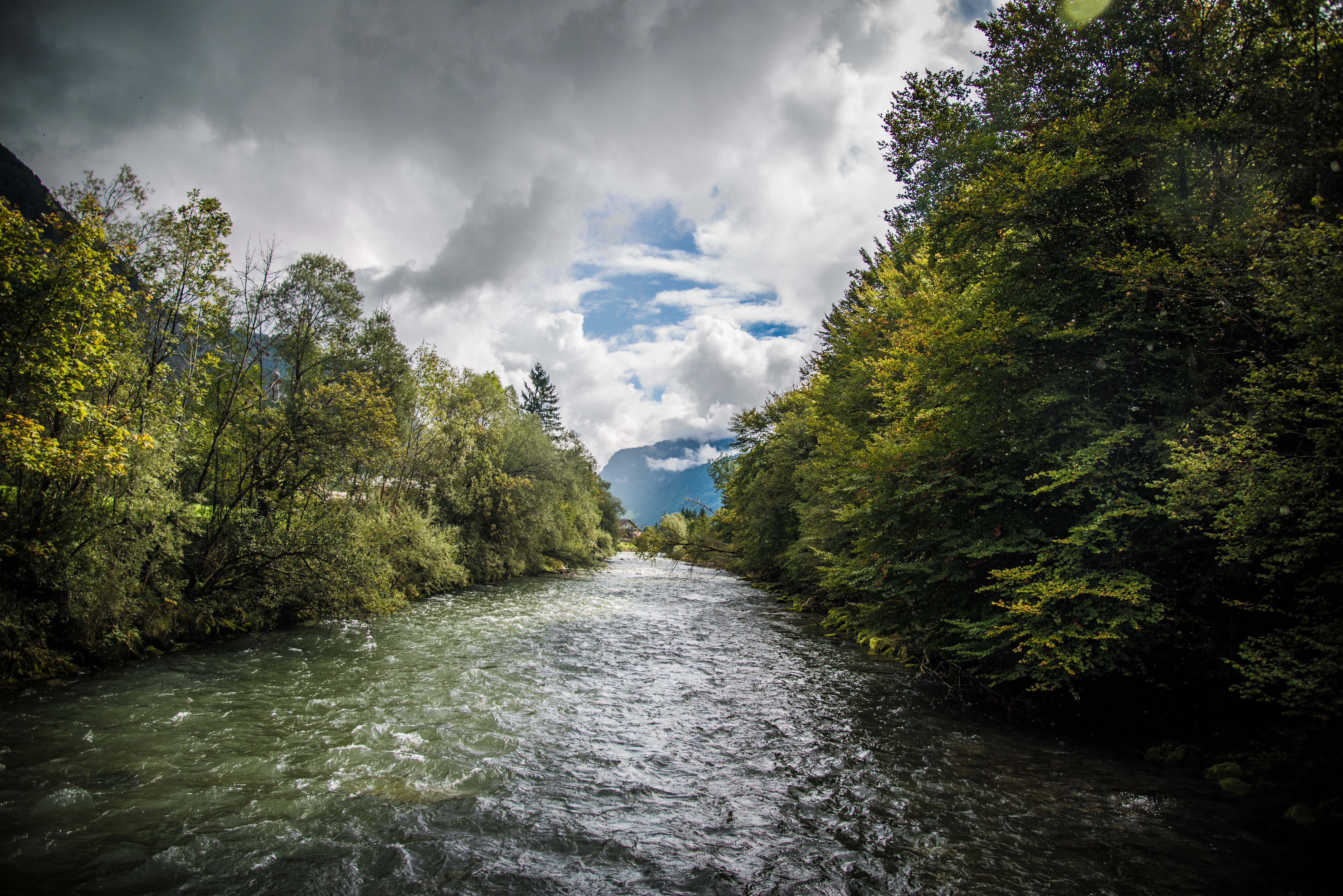
About halfway through the walk, we came across an old bridge. At this site, in late Autumn 1799, Russian General Suworow and his army were stopped by the French when trying to reach the Schwyz lowlands. Apparently there were 20,000 men and over 1,000 horses constituting said army – hard to imagine in the small space we’d just come through.
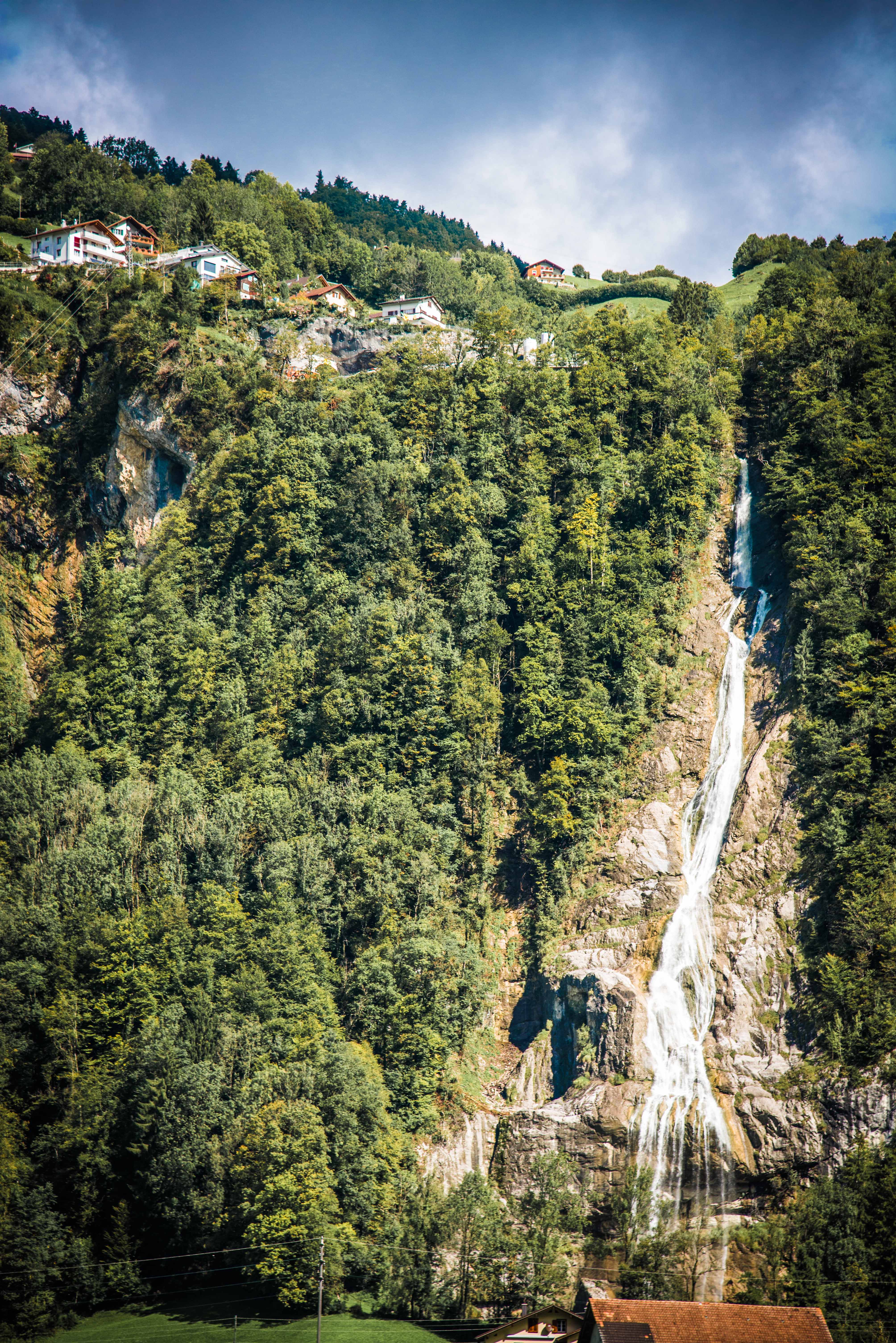
The bridge itself escorted us across a raging river. We’d seen numerous waterfalls as we walked and had wondered where the water wound up – we had our answer as we crossed. It also explained how Suworow’s army was detained as there was no easy way across other than said bridge.


After our own wee army made it safely across, we stopped for a snack and to don our wet weather gear as the threatening rain started to come through on its promises.
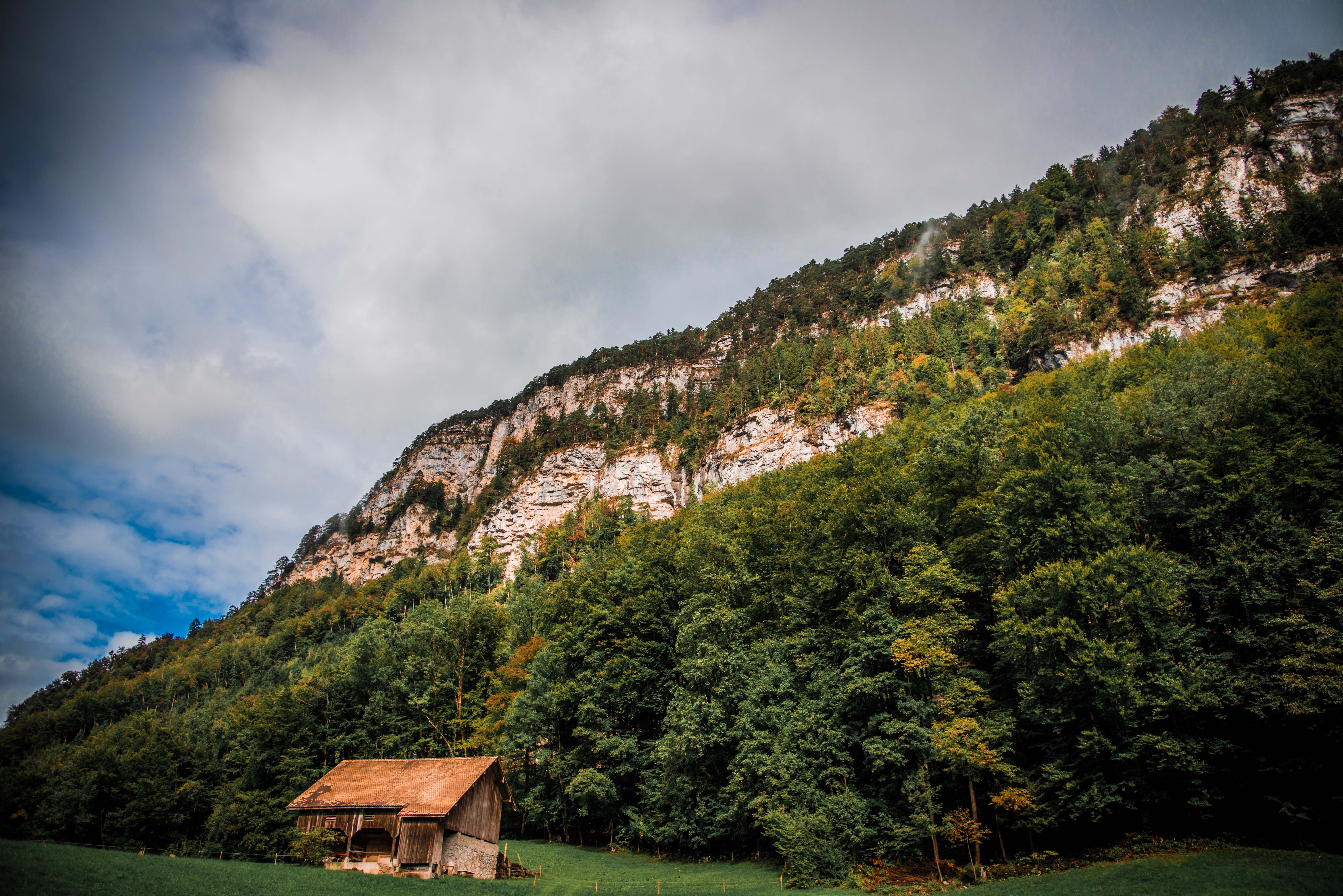
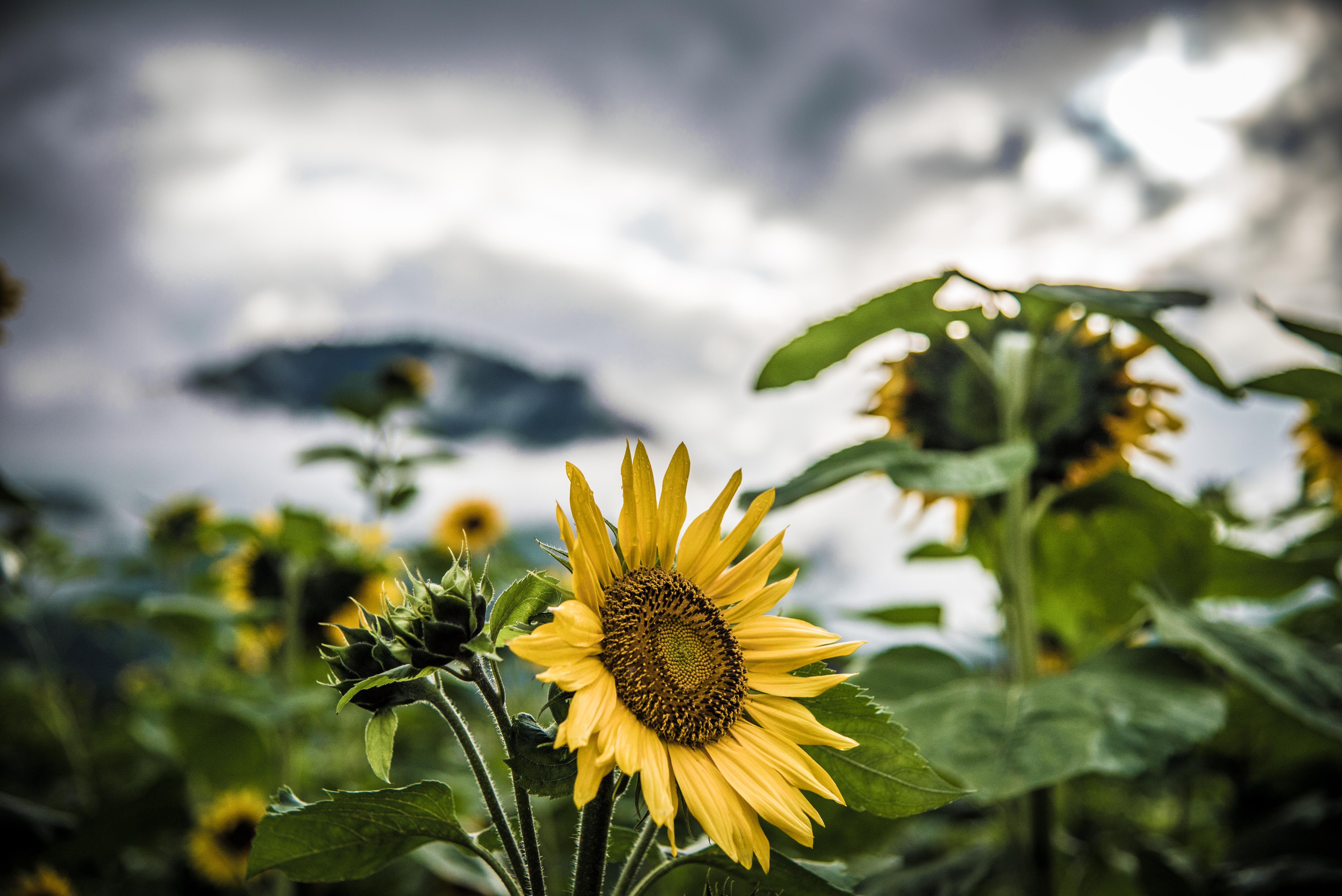
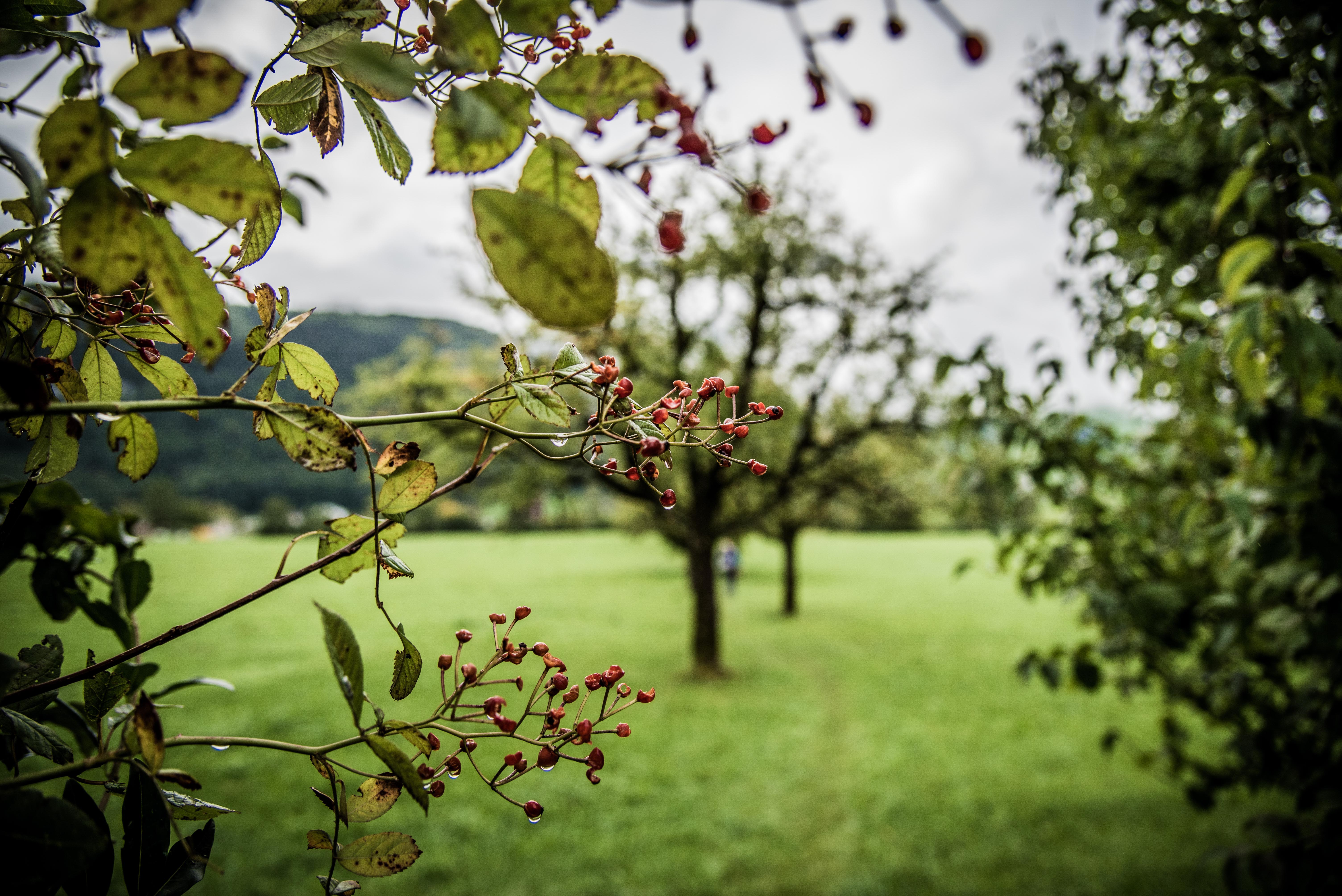
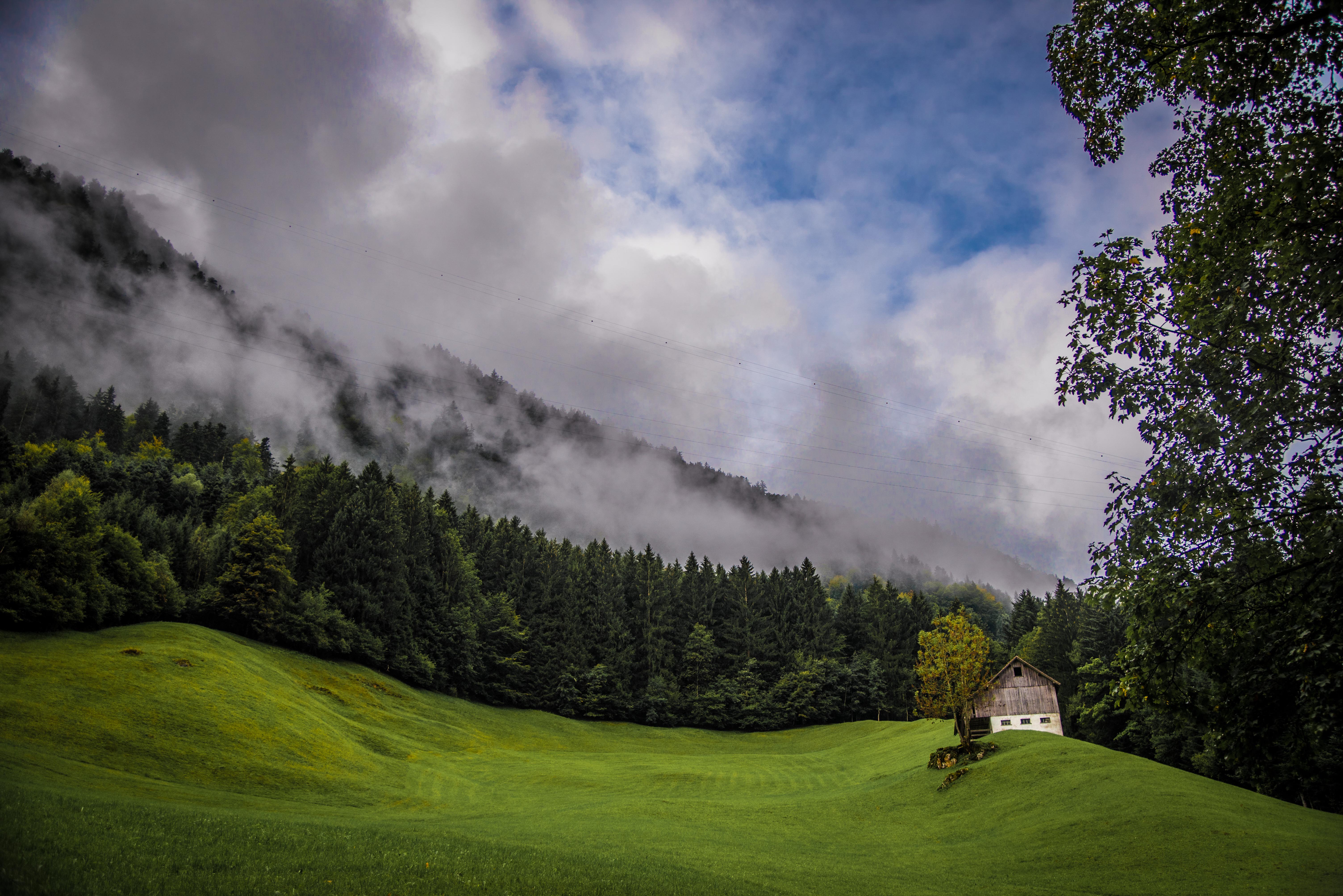
The terrain changed significantly as we walked. From the meadows, we walked up through small towns into the sub alpine ranges (the internet tells me the sub alpine forest we walked through is the largest in Western Europe, with the largest explored cave network underneath. We were oblivious to this as we hiked and as we barely saw anyone else the entire way it also seems like Western Europe’s largest best kept forest secret). We walked along rivers and lakes, and at times the path opened up into broad fields.

Between our wet weather gear and the canopy of trees, we were kept dry.

And our wee passenger was warm and comfortable (we assume. She seemed happy throughout the day so we’re taking it as a win).

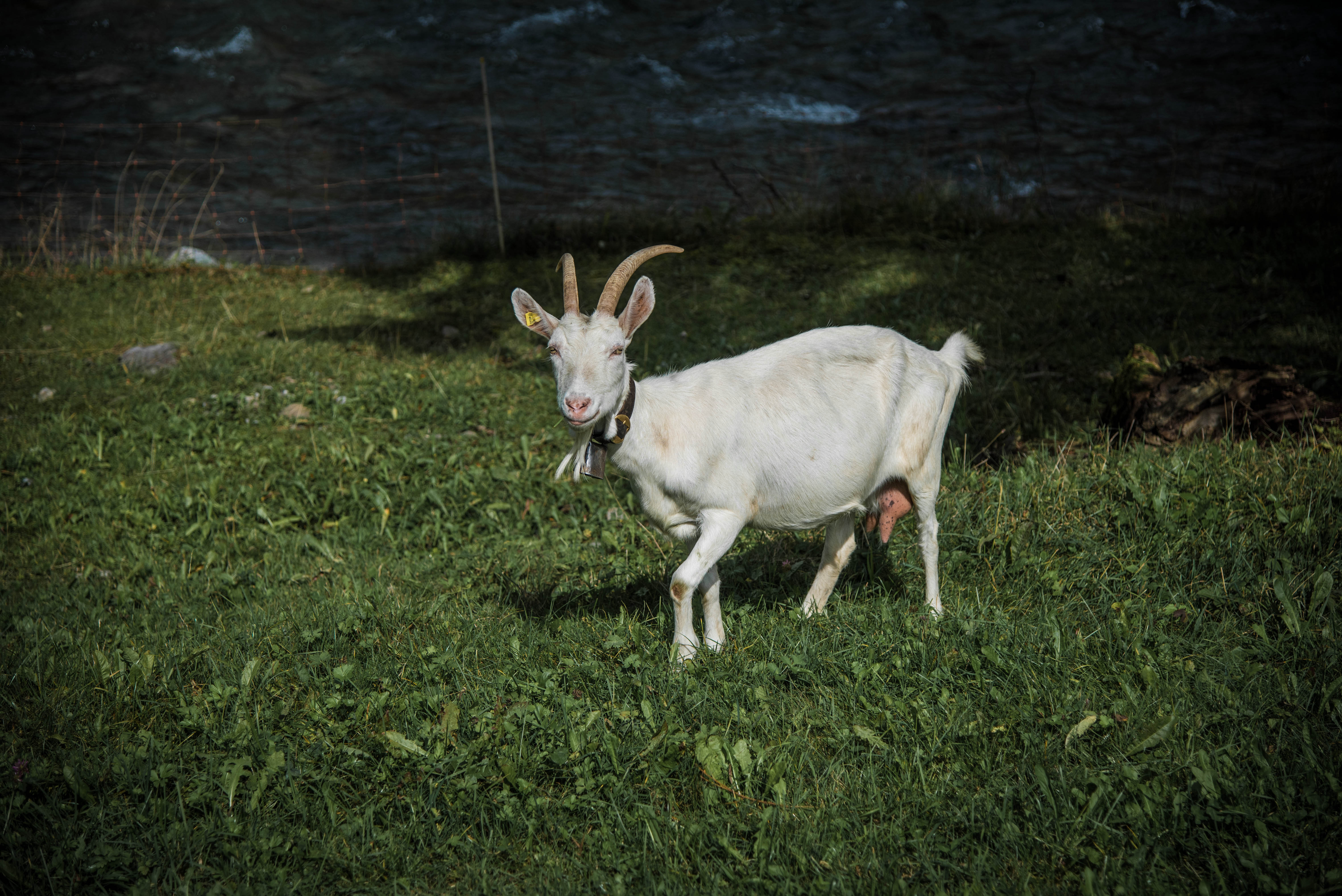
The final stages of the walk as we approached Muotathal became farmland, with many cows and goats dotting the landscape. We researched why bells are worn around the cow’s necks (and smaller ones around sheep and goats) – the answers ranged from the cynical (for tourismo purposes), to amusing (each cow in Switzerland is part of a larger, secret cow orchestra that unite to make a great symphony), to punny (‘it’s udderly necessary’ and ‘because their horns don’t work’), to traditional (the larger the bell the richer the farmer, as well as interesting information on ornate bells for ceremonial purposes). The simple reason is that the cows roam freely over the Alps to graze, and can frequently get themselves in unexpected areas or the weather may be such that it’s hard to find them. The bells are an easy way of locating them. It was also rather lovely to hear the gentle clanging of the orchestra rehearsing as we made our way through the fields.
Even though poor old Tim had the heaviest load, he wasn’t the one who was tuckered out at the end of the day.
We made our way back, slightly sore and sorry but definitely delighted with the experience, for a well-earned beverage on the banks of Lake Zug.
